Indian Wells Valley · Desert Trails
Local Trails
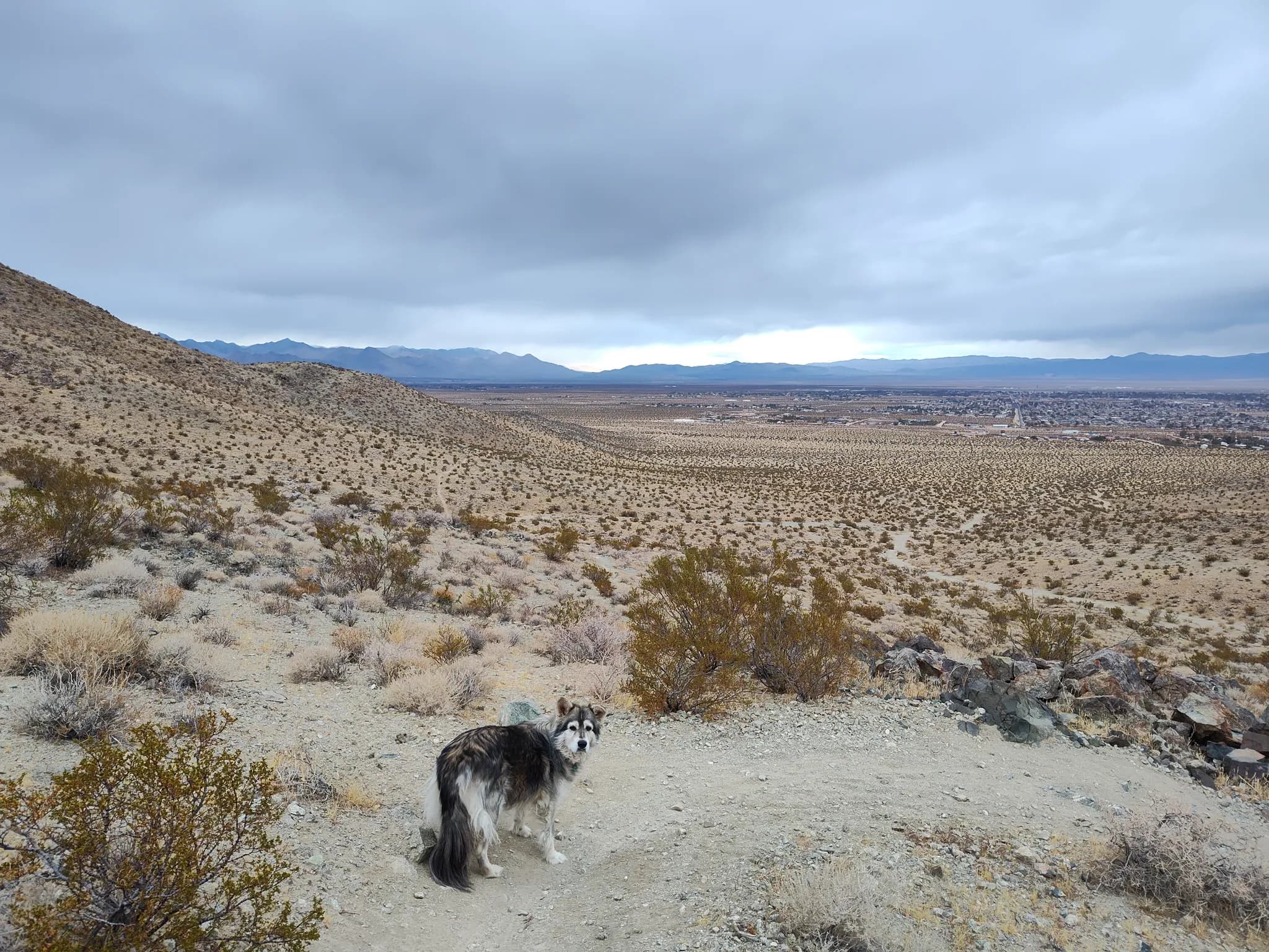
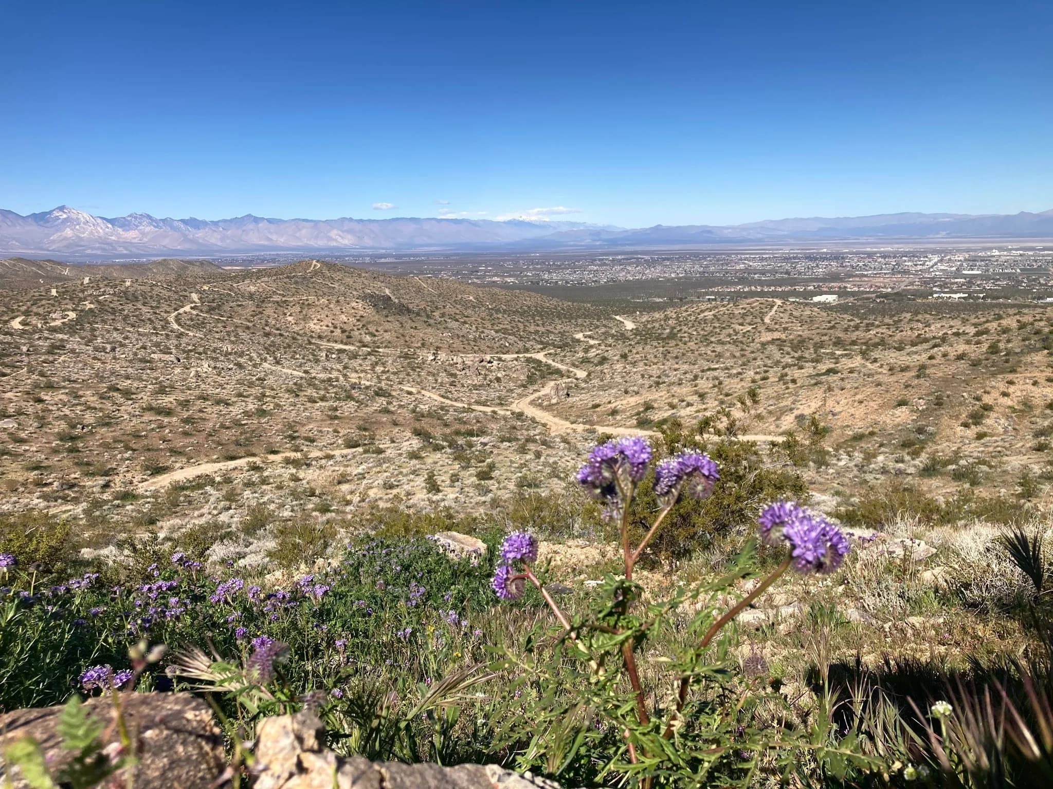
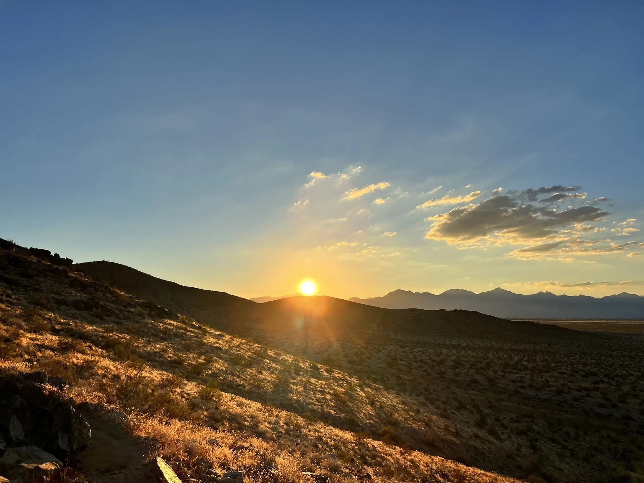
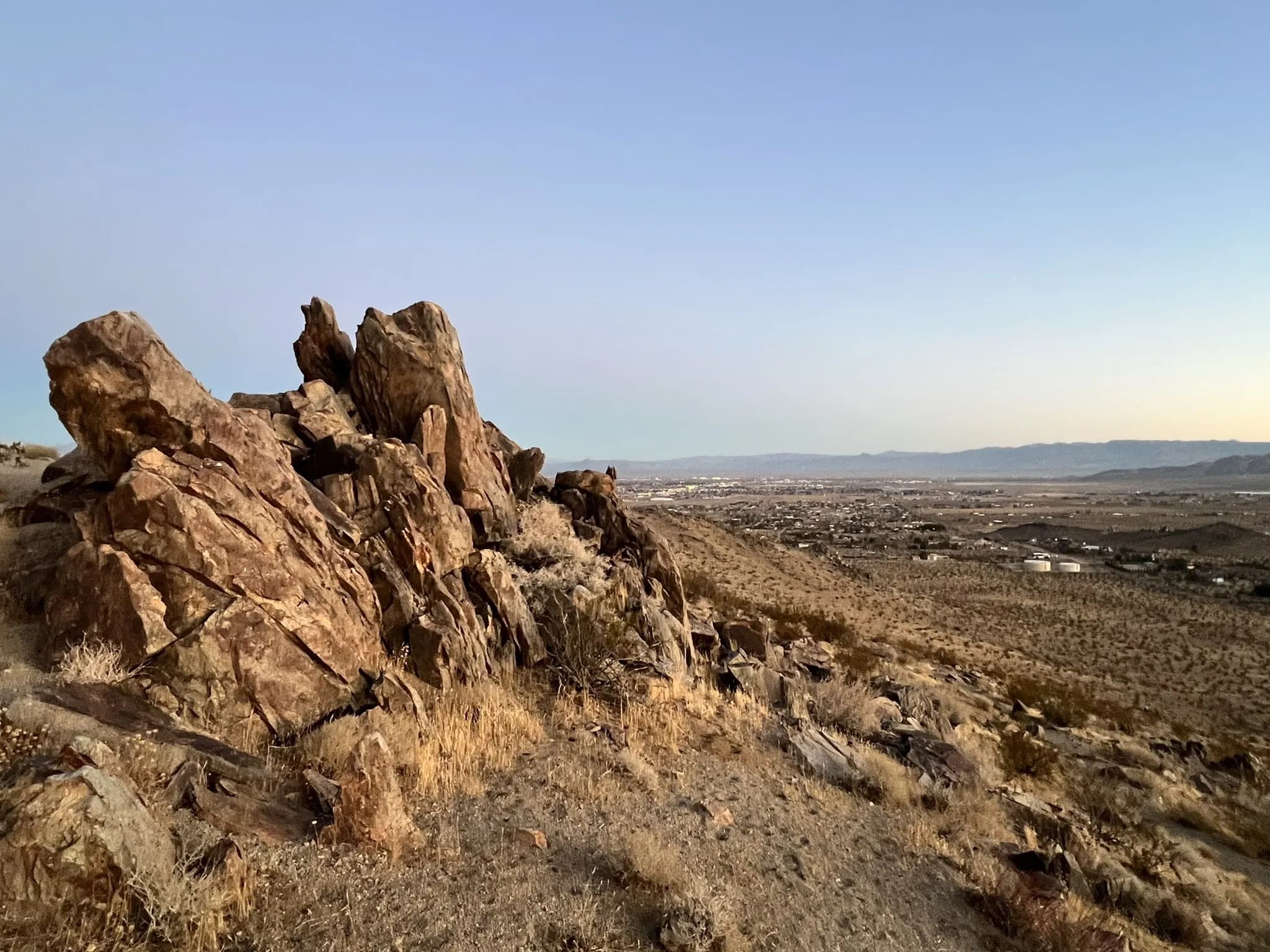
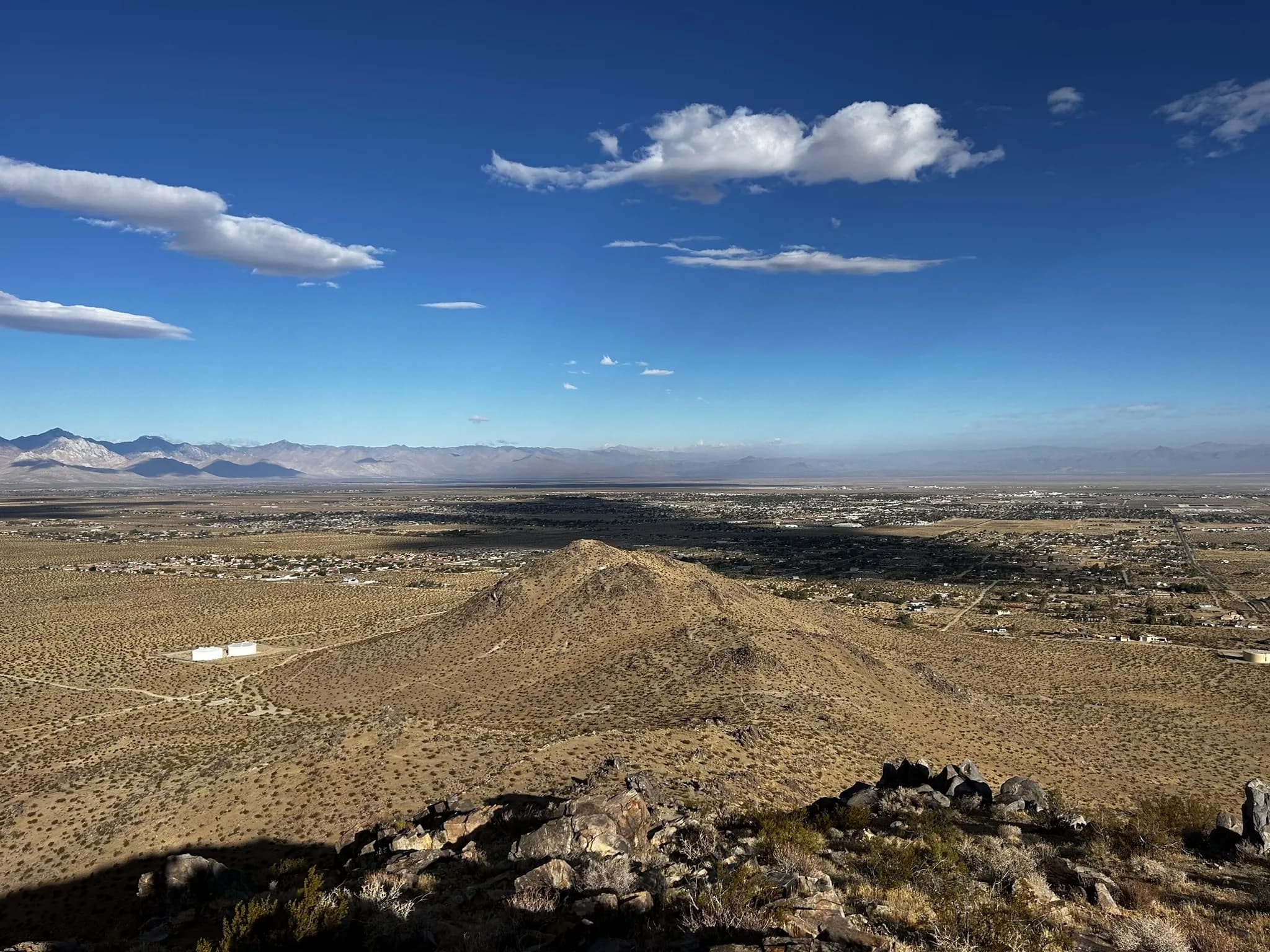
Ridgecrest has a growing network of desert trails right at the edge of town — from quick after-work hikes to all-day ridge scrambles.
Trail Map
Click a marker to see trail info and link to details.
All Trails
7 trails from easy walks to strenuous ridge scrambles.
ModerateBrady Trail Loop
A scenic 3-mile loop with sweeping views of the Indian Wells Valley. Moderate elevation gain through desert terrain with rocky sections and ...
 Moderate
College Boulevard Loop
A 3.5-mile loop near Cerro Coso Community College with steady climbing and great views. The trail winds through desert scrub with interestin...
 Easy
EasyLone Ridge
A 2.5-mile desert ridge hike with 517 feet of elevation gain. Follows a prominent ridge with open views in all directions — one of the more ...
 Moderate
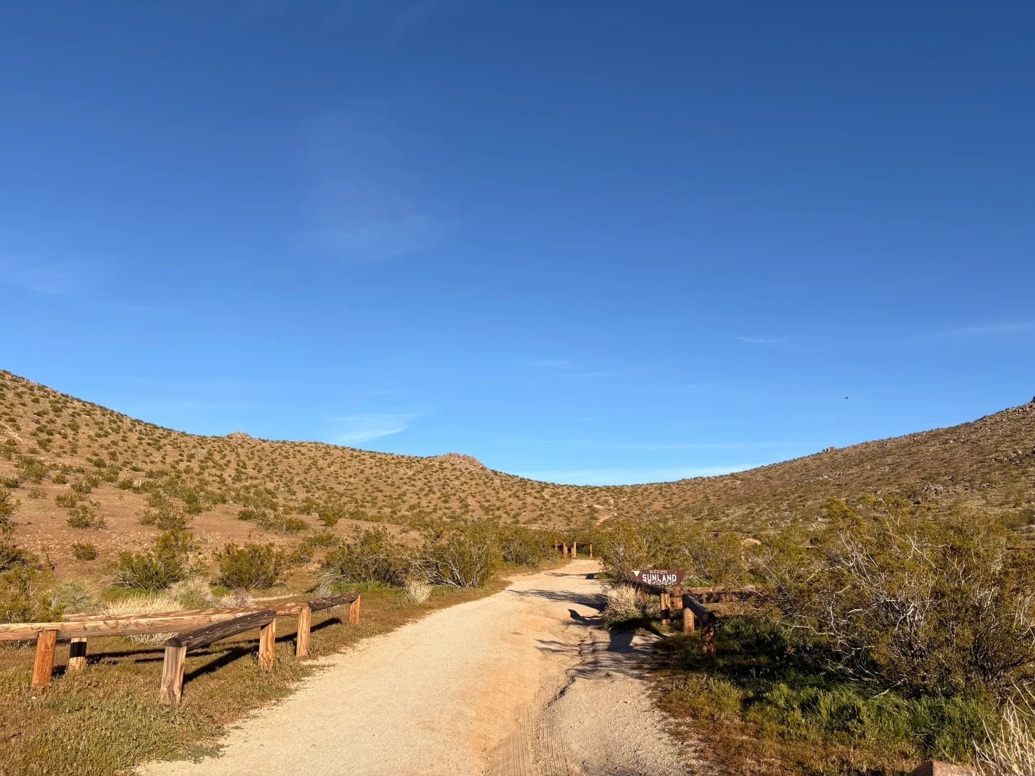
Lower Sunland to Gateway Loop
A quick 1.8-mile loop with surprisingly steep sections and 579 feet of elevation gain. Great for a short but challenging workout close to th...
 Hard
HardMike's 8 Loop
The longest and most challenging local trail at 7.3 miles with over 2,200 feet of elevation gain. A figure-8 route through rugged terrain wi...
 Hard
HardRadimaker 3 Loop
A 3.6-mile loop with 1,412 feet of gain — steep and technical with excellent views from the top. One of the more popular local training hike...
 Moderate
Two Peaks
A compact 1.8-mile route hitting two prominent peaks with 736 feet of elevation gain. Short but steep — perfect for a quick summit bag with ...
Explore more outdoors near Ridgecrest